Monterey sits at the southern end of Monterey Bay, 120 miles from San Francisco and far enough south that it occasionally feels like a different climate entirely. The city has managed to build a reputation as one of the most scenic small cities on the California coast, and its weather is a significant part of the appeal: milder than San Francisco in summer, warmer than the exposed Marin coast, and with a version of coastal cool that feels like a genuine maritime climate rather than San Francisco's particular brand of summer fog. The bay itself shapes conditions across the entire northern arc of coastline.
The Monterey Bay Effect
Monterey Bay is a large horseshoe of water roughly 25 miles across at its mouth and 13 miles deep, opening to the northwest. The bay's orientation means that the dominant northwest winds and northwest swells hit the outer coast of the Monterey Peninsula rather than the inner bay facing Santa Cruz. Monterey itself, tucked into the southern curve of the horseshoe, is partially sheltered from the strongest marine flow and the coldest upwelled water.
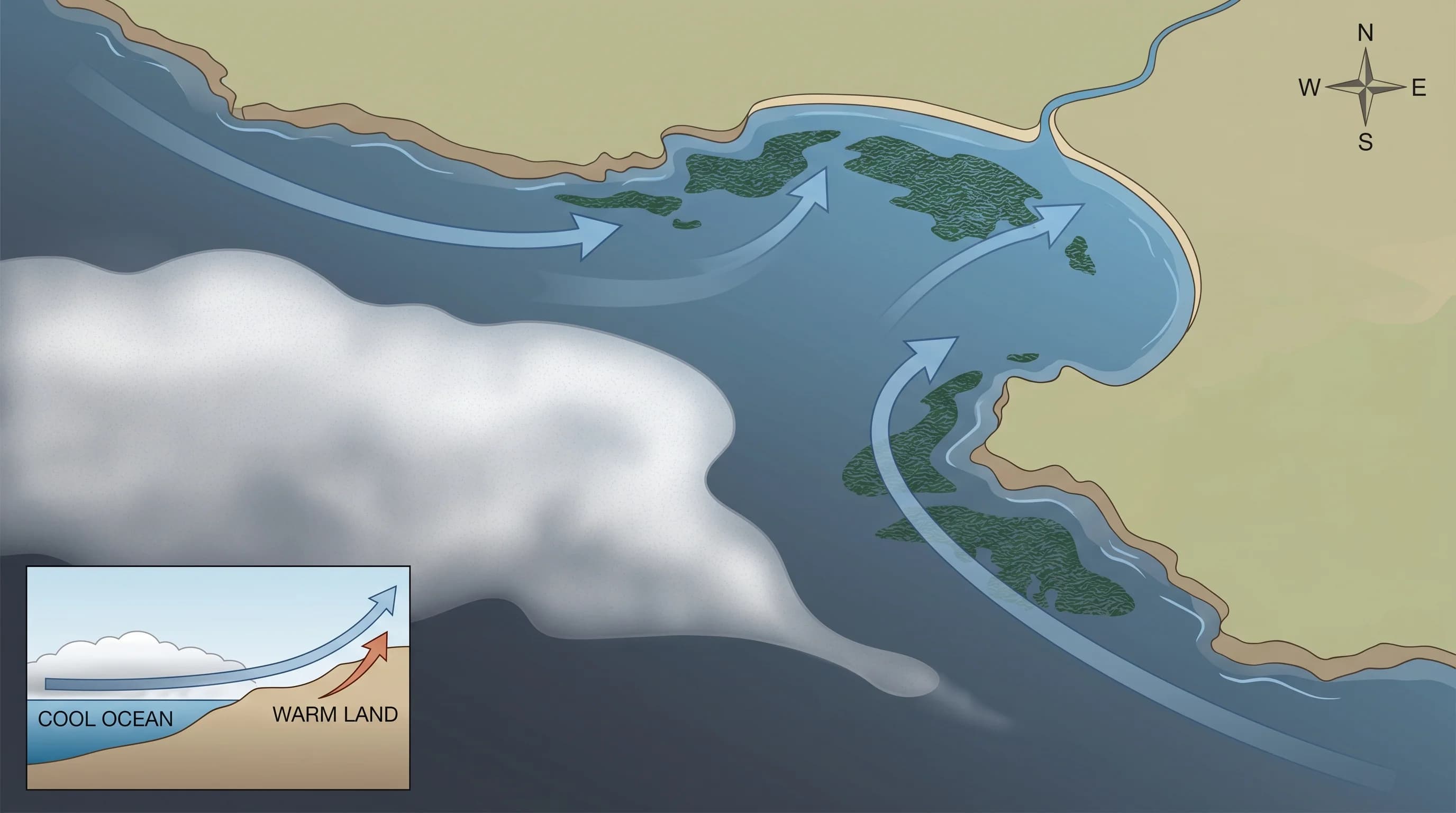
This geometry gives Monterey measurably different conditions from the exposed beaches to its north. Summer sea surface temperatures near Monterey typically run in the high 50s to low 60s Fahrenheit, still cold, but several degrees warmer than the water off Half Moon Bay or Point Reyes. The result is less fog formation directly over the inner bay, a stronger tendency for morning fog to burn off by midday, and air temperatures that are more moderate than either the foggy Bay Area coast to the north or the warmer inland valleys.
Summer Fog and Sunshine Patterns
Summer in Monterey follows the familiar Northern California coastal pattern: cool mornings with marine fog or low clouds, burning off to sunshine by late morning, warming into the afternoon before the sea breeze picks up. July and August highs in downtown Monterey average in the low to mid-60s Fahrenheit, warmer than San Francisco's notoriously chilly July average, but cooler than Santa Cruz just up the bay. The Pacific Grove side of the peninsula, exposed to the open ocean, runs a few degrees cooler than downtown Monterey or Carmel.
The fog at Monterey tends to be less persistent than in San Francisco, and the burn-off pattern is more reliable. San Francisco can sit in fog until 2 or 3pm on strong marine push days; Monterey typically clears by noon or earlier. This makes the city a better bet for afternoon outdoor activities during the summer months, though visitors who arrive early should plan for a gray, cool morning regardless of the season.
The Carmel Difference
Carmel-by-the-Sea, immediately south of the Monterey Peninsula, has its own microclimate that diverges from downtown Monterey in ways that regular visitors notice. Carmel Bay faces southwest, exposed to the open Pacific, and the beach sits on the windward side of the peninsula. On strong marine push days, Carmel Beach can be cold, windy, and blanketed in fog while downtown Monterey is clear. The opposite also happens: on calm, warm offshore-flow days, Carmel can be noticeably warmer and sunnier than the north-facing Cannery Row shoreline.
The Carmel Valley, running inland from Carmel to the east, has its own distinct climate. The valley floor is sheltered from the marine layer by the Santa Lucia foothills, and on summer afternoons it can reach 85 to 90 degrees Fahrenheit while Carmel Beach sits in fog at 60. Carmel Valley village, about 12 miles from the coast, is essentially a different climate zone, warm and sunny in summer in ways that the coast rarely is.
Fall: The Best Season
September and October are widely considered Monterey's best weather months. The North Pacific High weakens and shifts position, reducing the strength of the marine layer. Morning fog becomes less frequent and less persistent. Afternoon highs climb into the mid-60s to low 70s Fahrenheit, warm enough for comfortable outdoor dining, whale watching, and walking the coastal trail along Cannery Row. The bay is at its warmest water temperature of the year in fall, having absorbed summer heat, which makes kayaking and paddleboarding more tolerable.
Fall also brings the peak of humpback whale feeding activity in Monterey Bay. The bay's submarine canyon, which drops to 10,000 feet just offshore, funnels deep, nutrient-rich water to the surface during upwelling events and sustains enormous concentrations of krill and anchovies in fall. Whale watching boats out of Fisherman's Wharf regularly encounter multiple humpbacks on fall trips, and the combination of excellent wildlife viewing and reliable weather makes September and October the peak visitor season for good reason.
Winter and the Storm Season
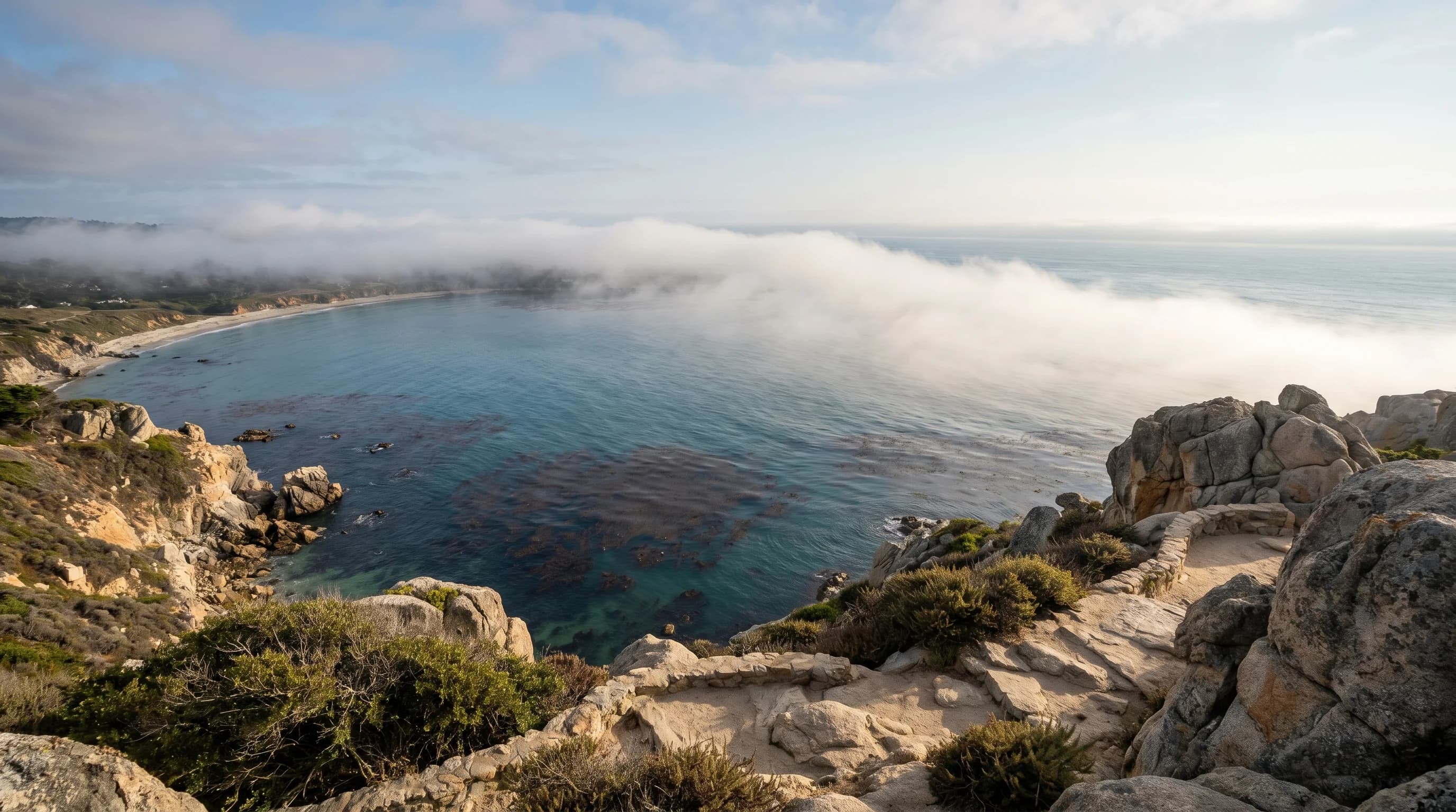
Monterey winters are mild but wet. Average rainfall is about 17 inches annually, most of it falling between November and March. Winter storms produce the year's largest surf on the outer coast, and the dramatic wave action at Point Lobos and along the 17-Mile Drive draws visitors specifically looking for wild Pacific weather. The inner bay remains calmer, and whale watching continues through winter with gray whale migrations running from December through March.
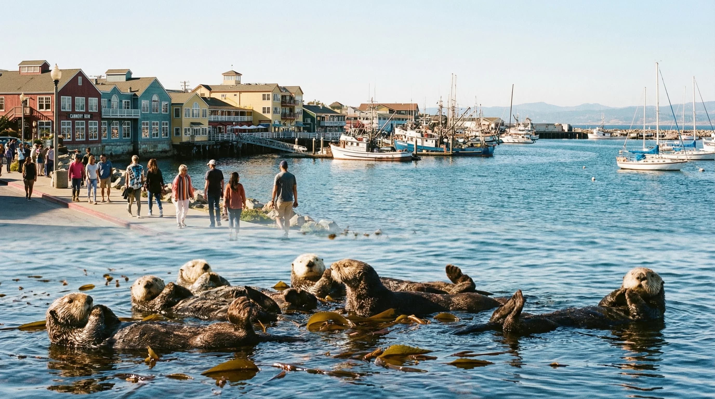
Daytime highs in January average in the low to mid-50s Fahrenheit, cool but rarely cold, and almost never freezing at sea level. The combination of mild temperatures, reduced crowds, and dramatic storm light makes winter in Monterey a legitimately appealing time to visit for travelers who prefer authenticity over beach weather. The aquarium, Cannery Row, and the coastal trails are at their least crowded, and the bay's resident wildlife, sea otters, harbor seals, sea lions, are as active as they are in any season.