Bay Area Weather Intelligence
Weather mapping shaped by the Bay's layered microclimates.
A cleaner view into live forecasts, terrain-aware visualizations, and neighborhood-scale weather patterns across the region.
Live view
Current Bay Area map preview
Live Bay Area preview
Live data
Comfort score
0-100
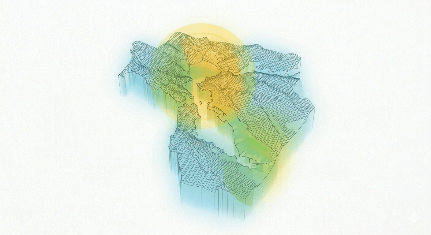
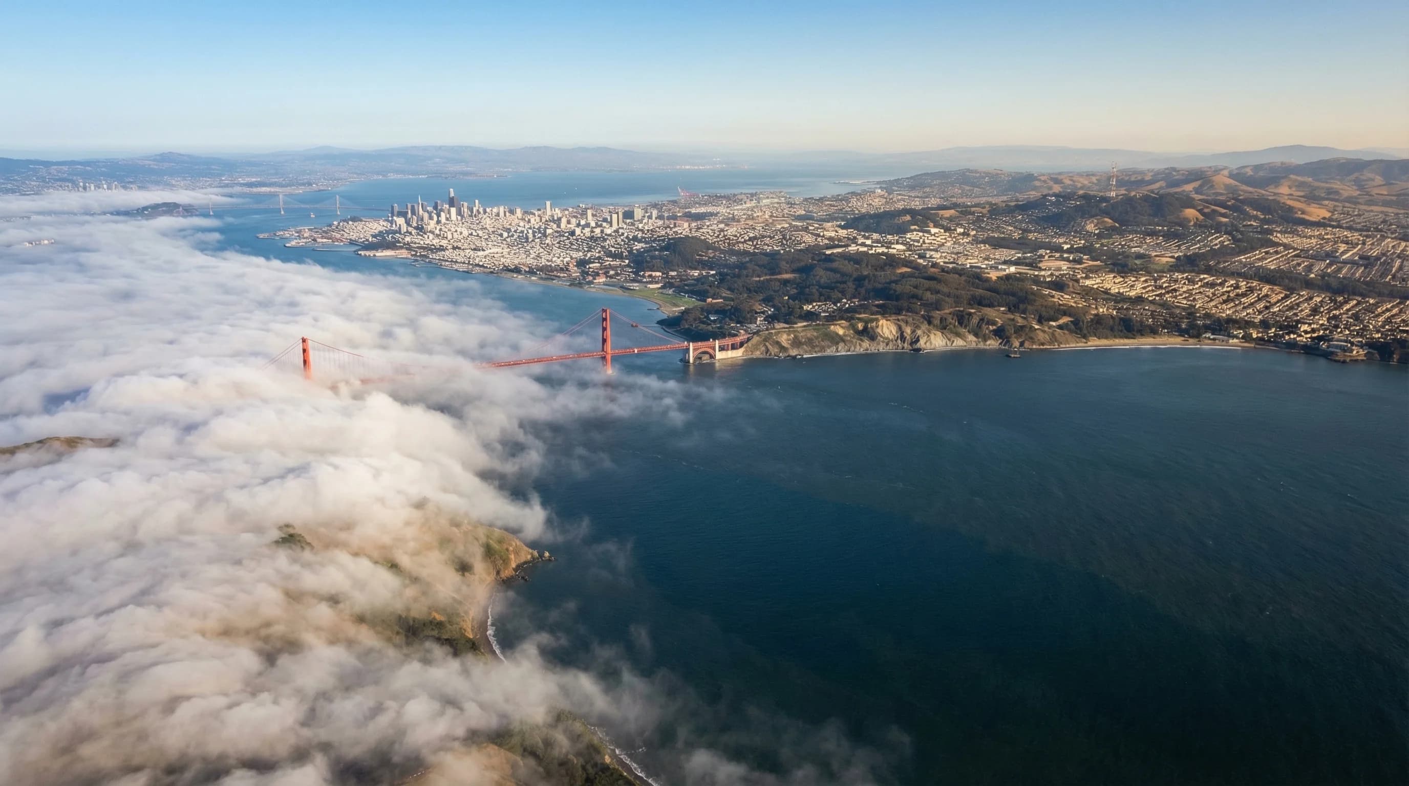
Featured fog dashboard
San Francisco Bay Area Fog Map and Forecast
Check the live marine layer map, city-by-city fog timing, and 36-hour forecast snapshots for San Francisco, the coast, Marin, Oakland, the Peninsula, and inland valleys.
Designed around layers
Cleaner entry points into maps, terrain, and weather context.
Live weather layers
Real-time map views blend comfort, clouds, wind, and temperature into a more useful read on Bay Area conditions.
Open map →Atmospheric 3D views
Explore terrain-aware fog and weather scenes that make elevation, marine pushes, and inland heat easier to compare.
View 3D →Microclimate reporting
Forecast explainers and local weather stories connect the map data to what people actually feel across the region.
Read more →Editorial layer
Fresh reporting from the weather guide
Why the Bay Area Has So Many Microclimates
A 10-mile drive in the Bay Area can mean a 20-degree temperature change. Here is why the region has more distinct microclimates than anywhere else in California.
6min read →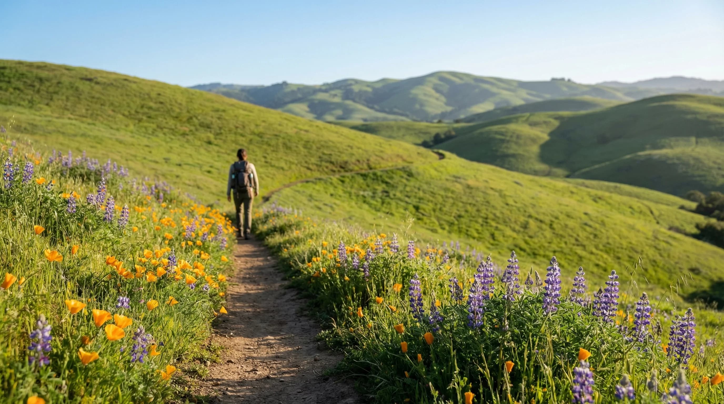
Best Months for Hiking in the Bay Area
Bay Area hiking has two ideal windows: spring wildflower season (April to May) and fall clearing season (September to October). Summer is complicated, and winter is muddy. Here is how to plan.
6min read →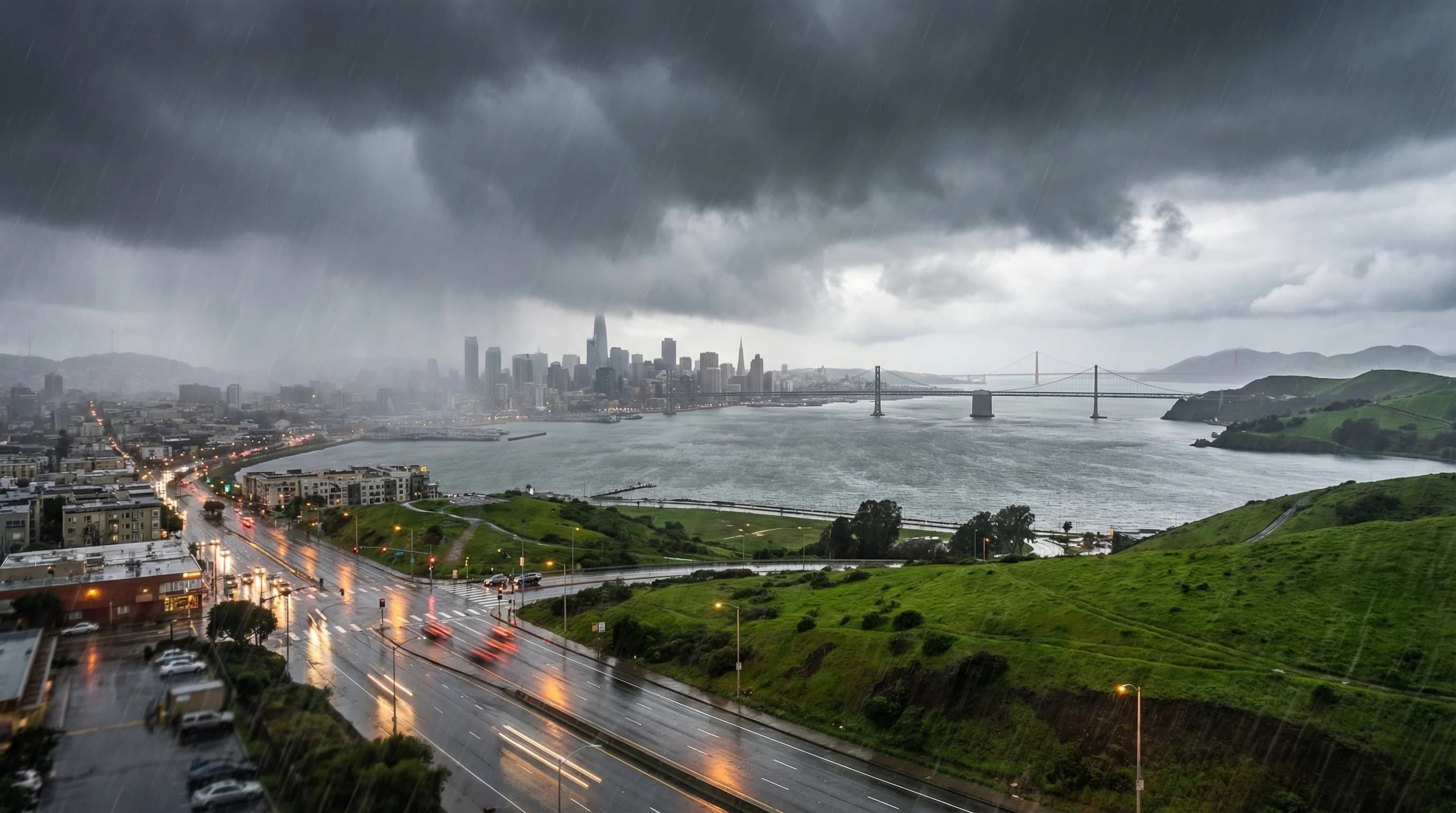
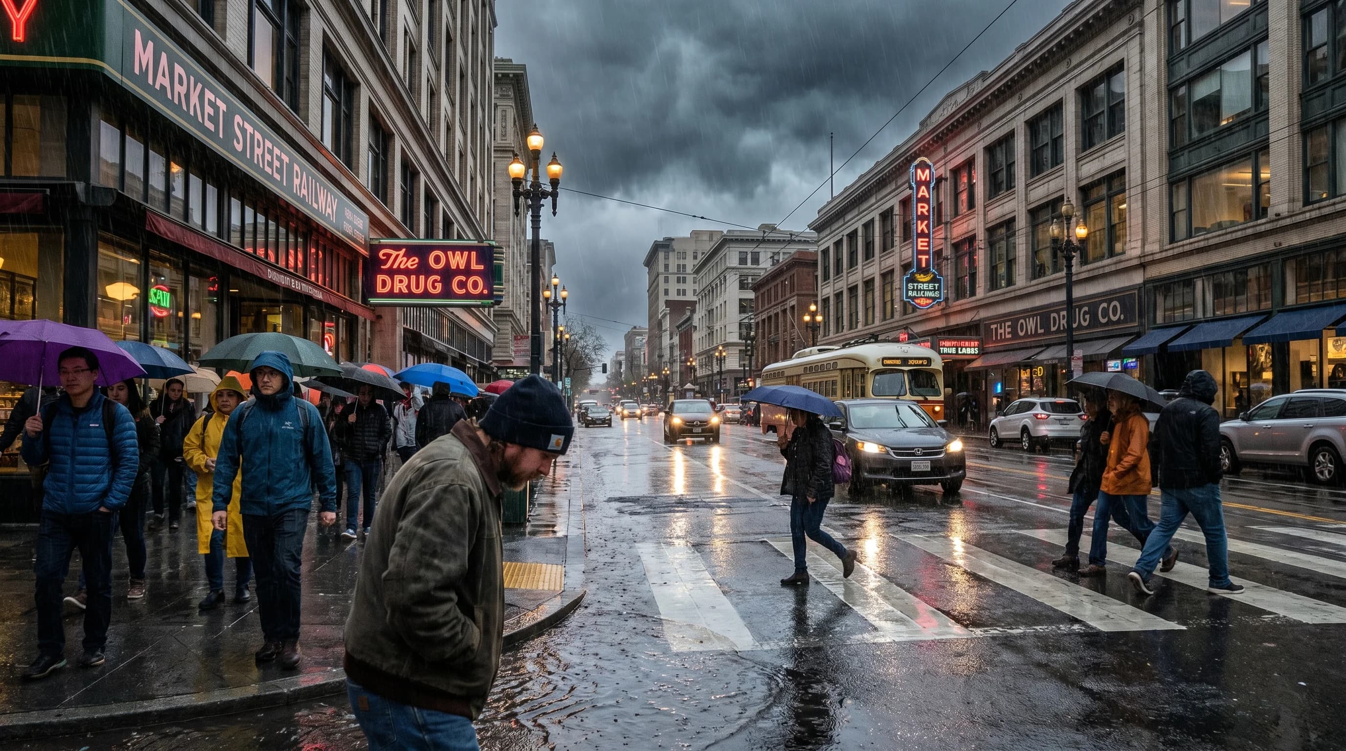
The Bay Area Wet Season: November to March Explained
San Francisco packs 22 inches of annual rain into a five-month wet season from November through March. The other seven months average essentially zero rainfall. Here is how this Mediterranean pattern works.
7min read →Popular articles
Most-seen weather guides
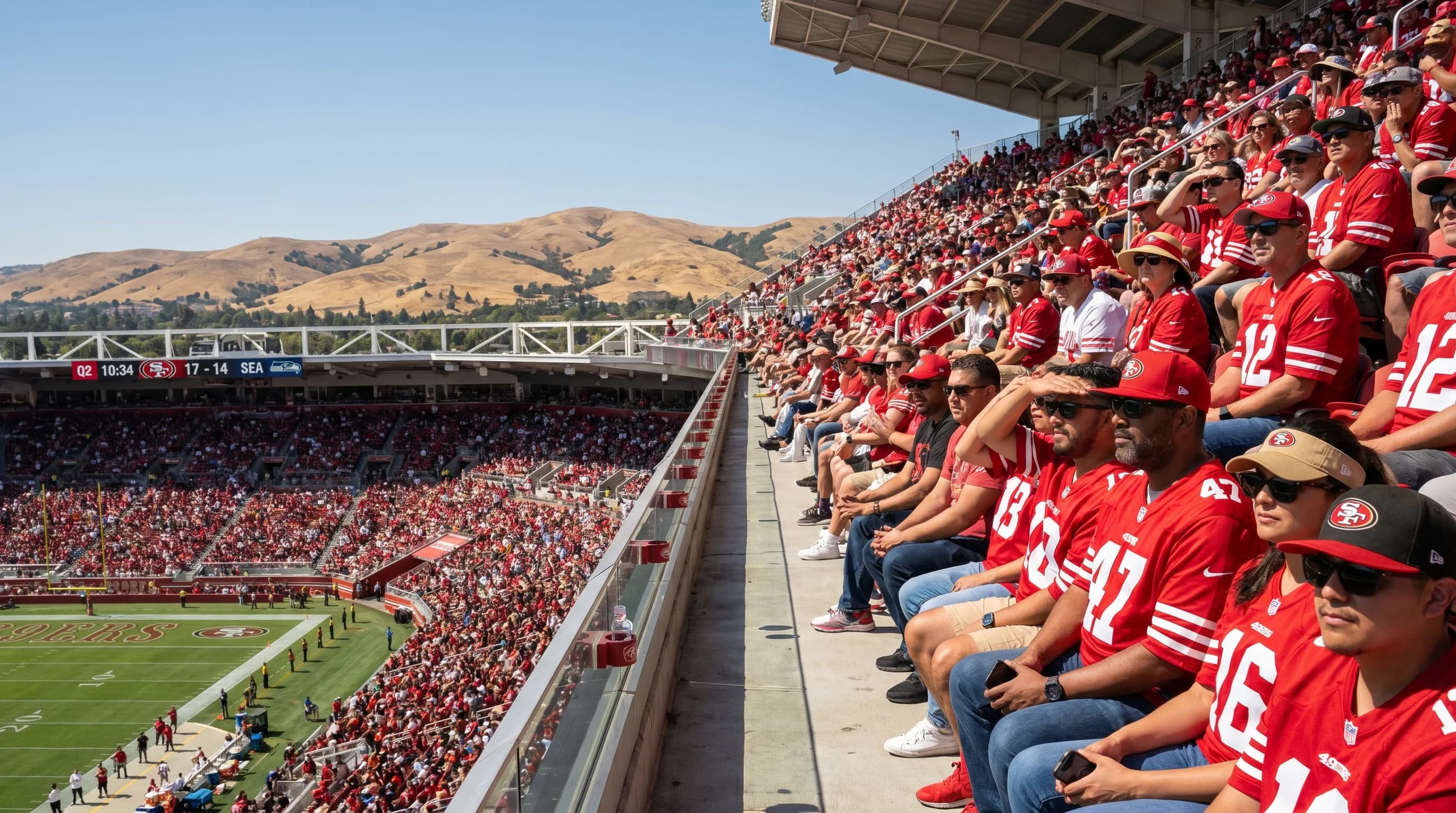
San Francisco Bay Area Stadium Weather: Levi's Stadium Temperature Guide
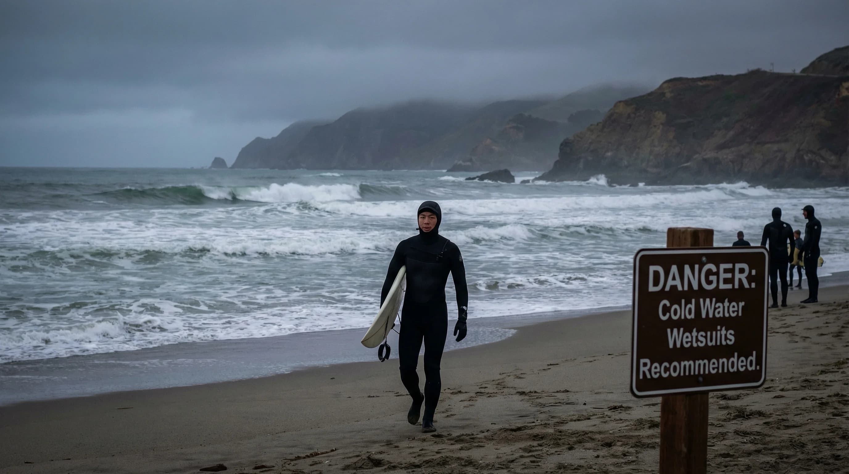
Bay Area Ocean Water Temperatures: When Is It Warm Enough to Swim?
San Francisco Rainfall Totals: How Much Rain Does SF Get Each Year?
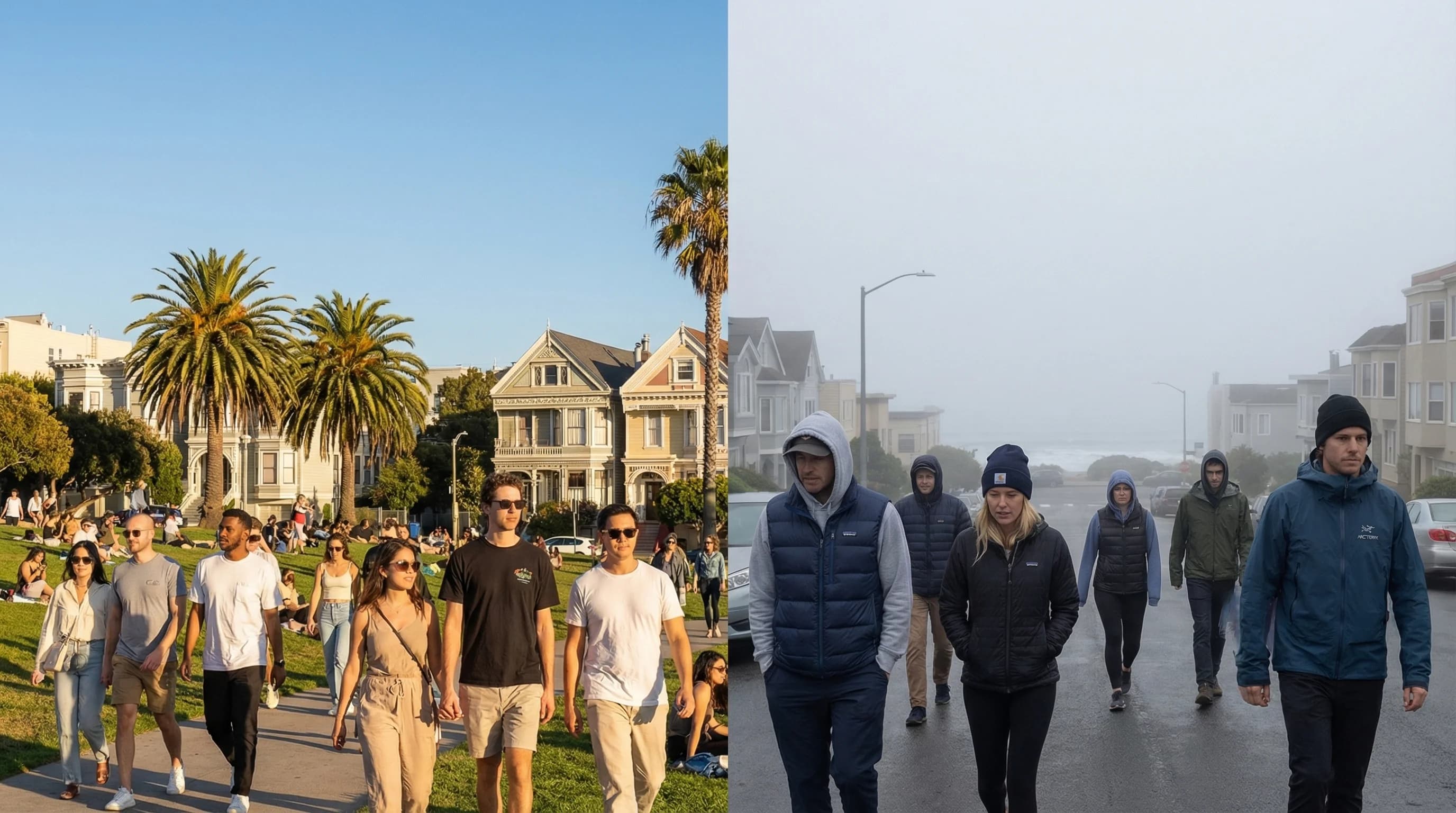
San Francisco Weather by Neighborhood: Mission vs. Sunset
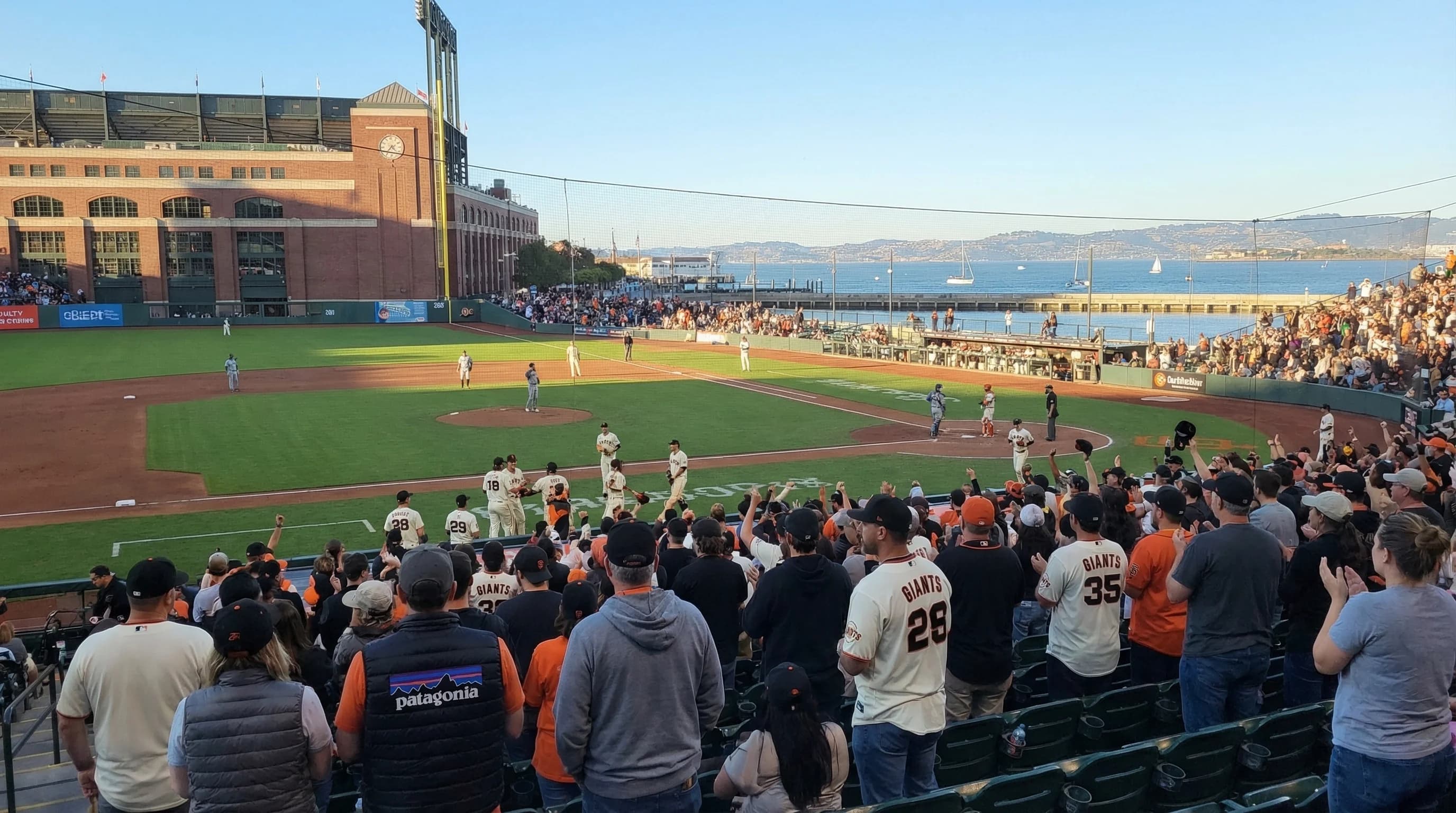
Best Weather for SF Giants Games at Oracle Park
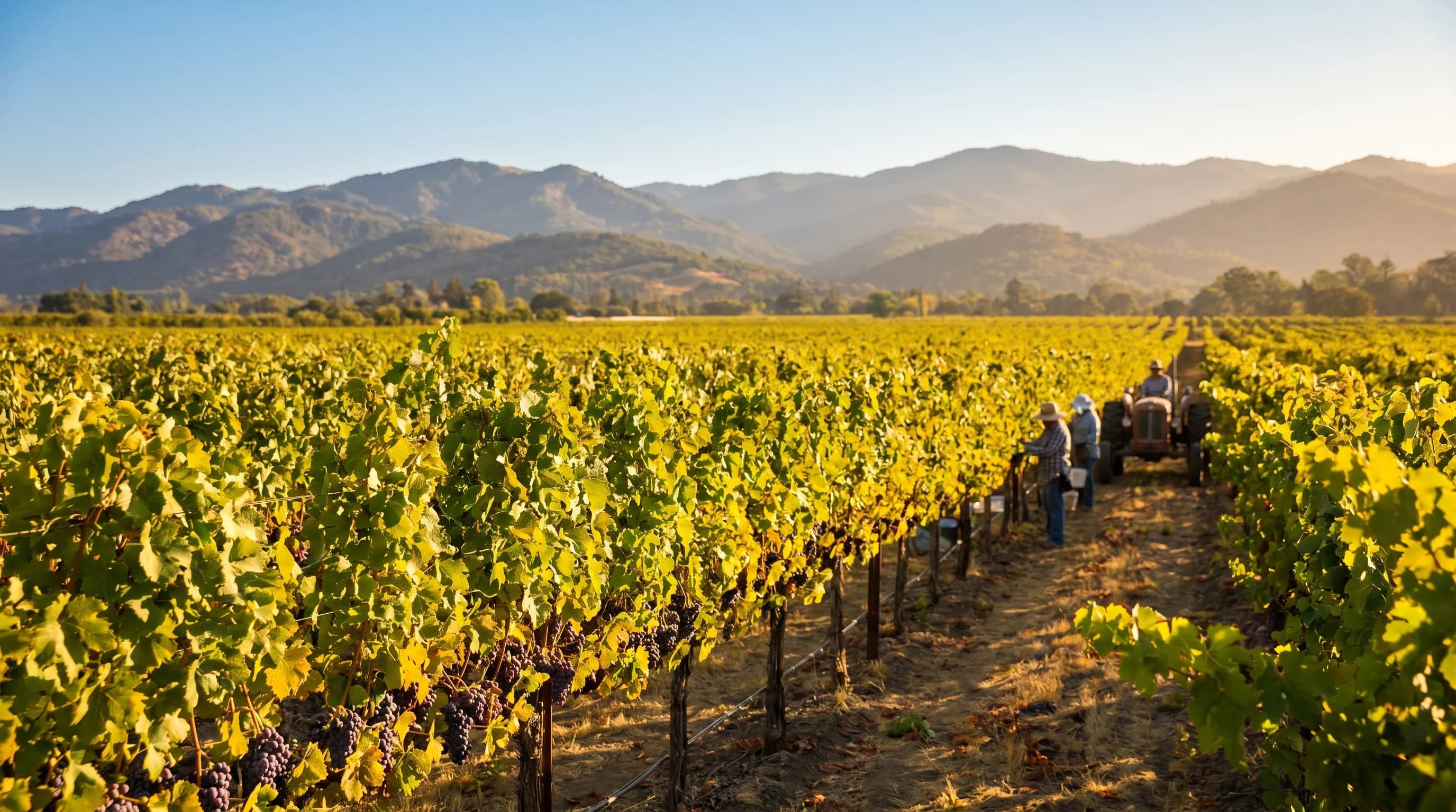
Napa Valley Weather Guide: Best Times to Visit and What to Expect
Why the Bay Area Has So Many Microclimates
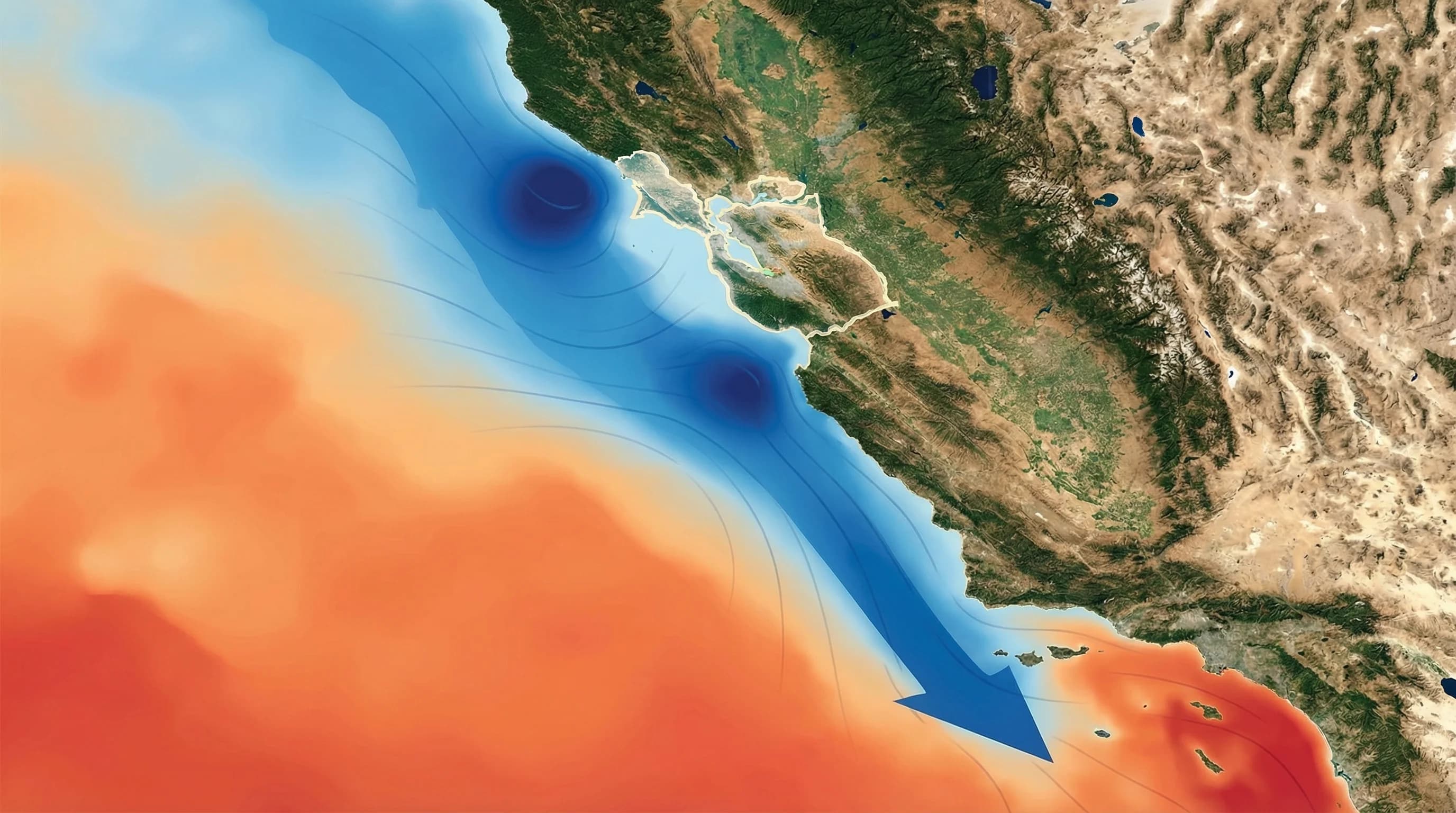
How Pacific Ocean Currents Create Bay Area Fog
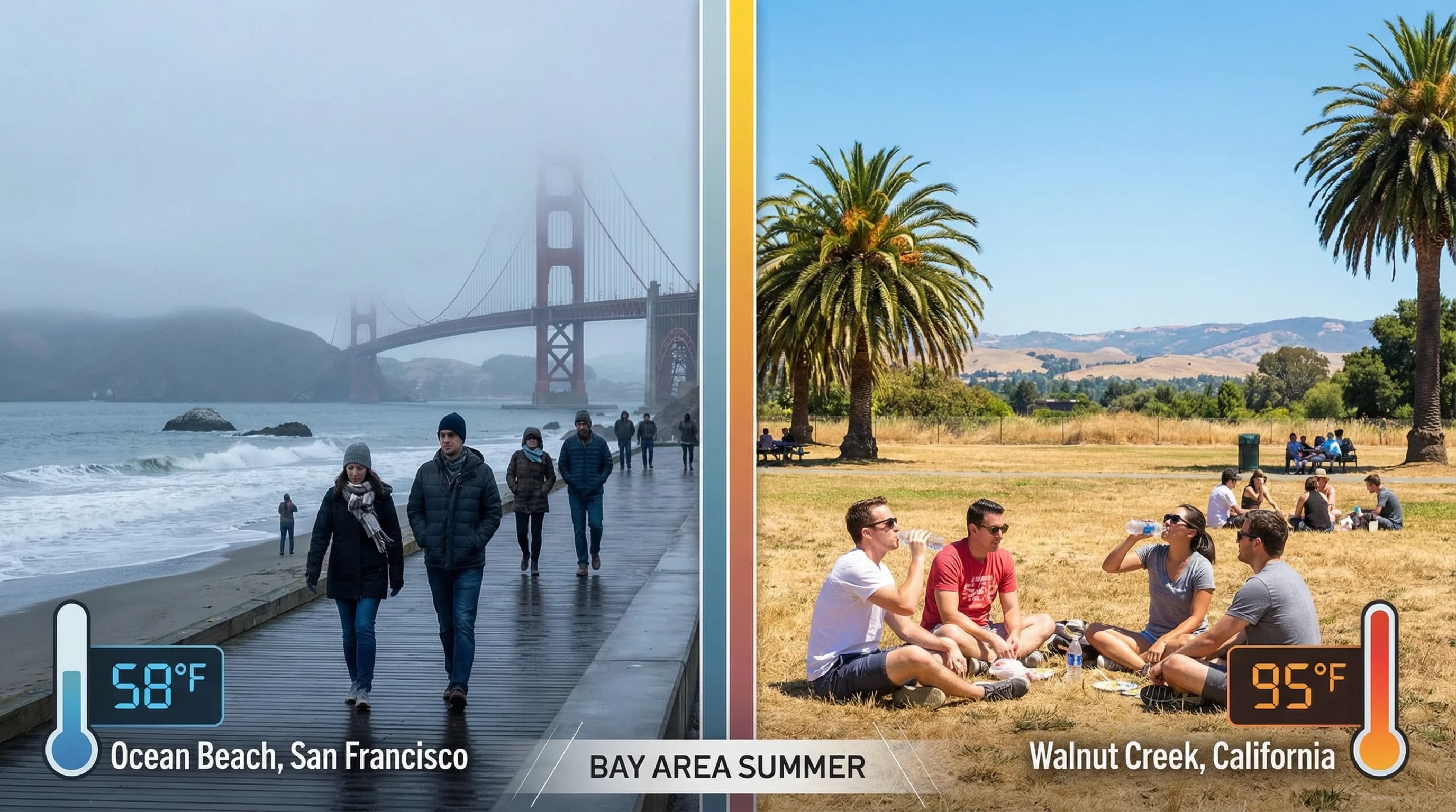
Bay Area Coastal vs. Inland: 30-Degree Temperature Differences