
Snow falls somewhere in the Bay Area most years, but seeing it at sea level is a generational event. The mountain ridgelines above 2,000 feet receive a dusting once or twice a decade. The East Bay hills above 1,500 feet see snow perhaps once every several years. San Francisco proper at sea level last recorded measurable snow in February 1976. And yet when snow does appear, even a trace on the hilltops, even a few flakes in the air over downtown, Bay Area residents respond with something approaching wonder. Snow is genuinely rare here, which is why every occurrence makes news and why understanding the conditions required to produce it reveals a great deal about the Bay Area's climate limits.
Why Snow Is Rare in the Bay Area
Snow in the Bay Area requires two things happening simultaneously: cold enough air at lower elevations and precipitation. The challenge is that the Bay Area's maritime climate tends to produce one or the other but rarely both at once. Winter storms bring moisture from the Pacific, but Pacific air is usually too warm to produce snow at sea level even in January. Cold Arctic air masses can push temperatures below freezing in the Bay Area, but Arctic air is typically dry and produces no precipitation. The overlap, cold and wet simultaneously, is uncommon.
When cold Arctic air does push into Northern California, it usually arrives from the northeast, through the Sacramento Valley and over the Diablo Range or Sierra Nevada. By the time this air reaches the Bay Area, it has either dried out or moderated in temperature. For snow to fall at Bay Area lowland elevations, you typically need the cold Arctic air already in place and then a Pacific storm moving in on top of it, a cold-air damming scenario where the cold surface layer is deep enough to persist while the warm storm system moves over it, keeping the lower atmosphere below freezing.
Notable Bay Area Snow Events
The most dramatic Bay Area snow events of the modern era include February 5, 1976, when measurable snow fell in San Francisco, the last time the city has recorded measurable accumulation at its official weather station. Parts of the Bay Area floor received half an inch that day, and photos from the event show snow on the streets of the Sunset and Richmond districts. The event lasted only a few hours before warming temperatures converted it back to rain.
The January 2021 winter storm brought the most visible recent snow to the Bay Area, depositing several inches on the East Bay hills and a dusting visible from San Francisco. Mount Diablo, at 3,849 feet, received several inches, and the snow line descended to around 1,500 feet in the East Bay, low enough to dust some residential neighborhoods in the hills above Oakland and Berkeley. The February 2011 storm was similarly dramatic, bringing snow down to lower elevations in the East Bay hills and briefly producing snow flurries in parts of San Francisco before temperatures rose.
Where to See Snow in the Bay Area
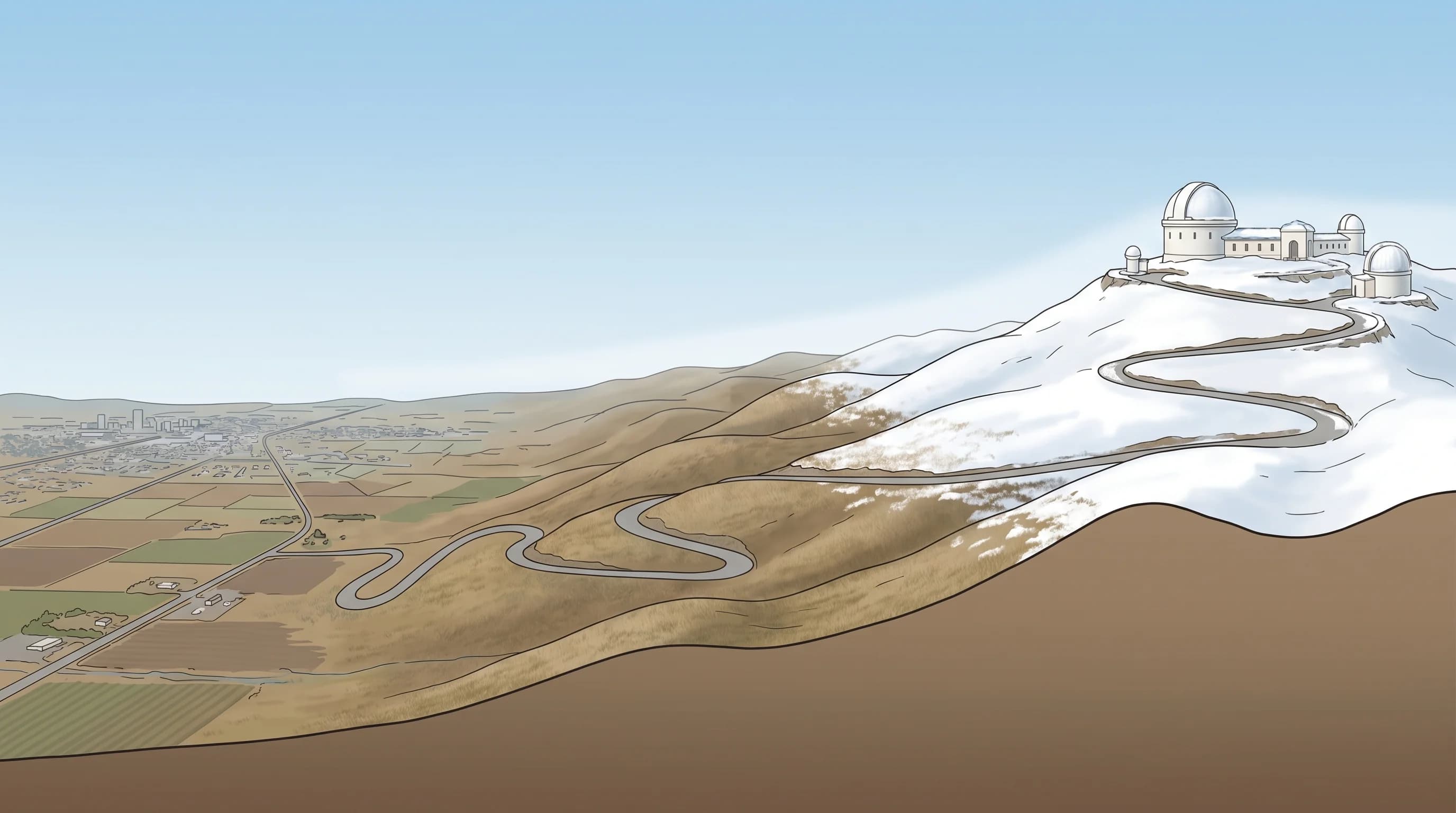
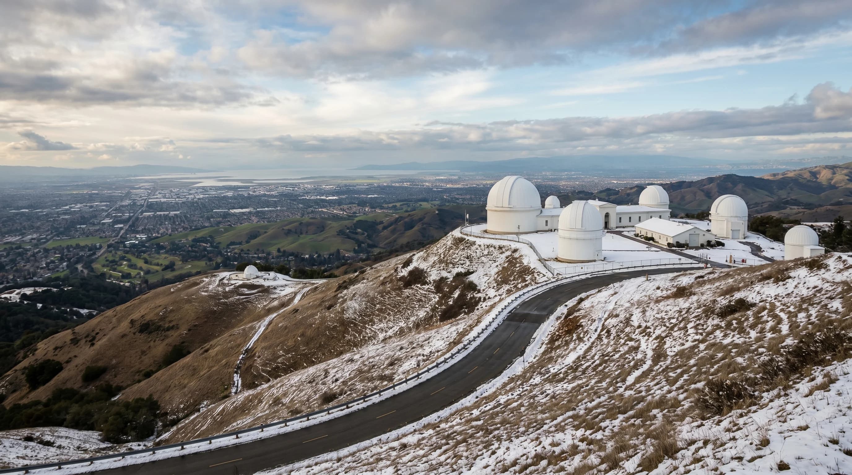
Mount Diablo is the most reliable place in the greater Bay Area to see snow, receiving accumulation perhaps once or twice a decade and occasional dustings more frequently. The summit at 3,849 feet sits high enough to experience snow during moderate cold events that produce only rain at lower elevations. When snow falls on Mount Diablo, it is visible from much of the Bay Area on the day it falls, a striking sight for residents who otherwise associate the peak with hot, dry East Bay summers.
Mount Tamalpais in Marin, at 2,574 feet, also receives occasional snow, though less frequently than Diablo due to its coastal exposure and slightly warmer maritime influence. The ridge of the Santa Cruz Mountains above Skyline Boulevard receives snow perhaps once a decade. In all cases, Bay Area snow is a transient event: temperatures rise within 24 hours, and the snow melts before most people can get to see it. The correct response to a Bay Area snow forecast is to go look immediately, because it will likely be gone by afternoon.